My day-trip to Rameswaram on January 1, 2004.

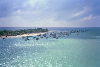
Rameswaram Island as seen from the Indira Gandhi Road Bridge

The older cantilever rail bridge (metre gauge) adjoining the new road bridge over the sea (Palk Straits). This bridge was completely washed off in the 1964 floods and was re-built. The remnants of the older bridge can be seen along the new one. The central portion is a cantilever that lifts up to allow boats and other bigger vessels to apss through the channel into the fishing harbour .
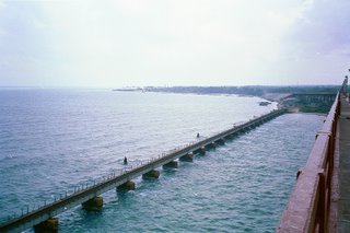
The rail bridge extending to Rameswaram island.
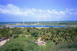
Rameswaram is a green and windy island. Windmills for generating electricity. This photo was taken from the Gandhamadhanam hill which houses one of the numerous Rama temples in Rameswaram.
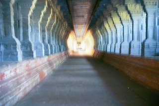
Ramnathaswamy Temple: 4000 feet long pillared corridor with over 4000 pillars, supposedly the longest in the world. The carved granite pillars are mounted on a raised platform. What is unique about this corridor is that the rock is not indigenous to the island and it was brought in from elsewhere in Tamilnadu across the sea.
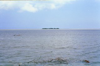
Is that Sri Lanka? An island in the sea far away as seen from he Kodandarama Temple whihc itself is on an island between Rameswaram and Dhanushkodi.
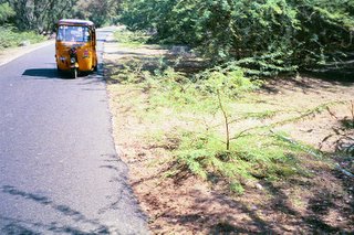
Freshly laid road to Dhanushkodi. This is a National Highway 49 (Kochi-Madurai-Dhanushkodi).
Note a railway track (a blue line) on the right side buried beneath the sand. This is the metre gauge line that used to run all the way to Dhanushkodi till 1964.
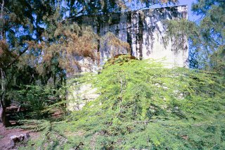
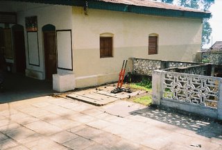
Ghost town! Dhanushkodi was abandoned during the 64 floods and remains a ghost town today. Seen here is an abandoned railway building.

Another shot of the rail bridge
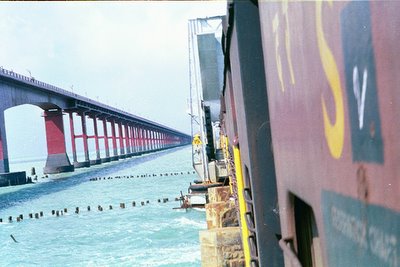
Indira Gandhi Bridge connecting Rameswaram island with mainland India.
